
DTM Team
Jun 27, 2025
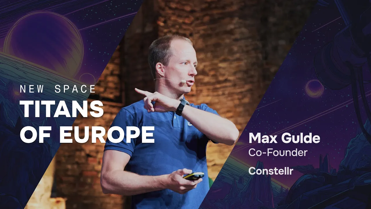
Max Gulde has a simple way to explain why his satellites could change everything. Take two photographs of the same parking spot hours apart—one showing a green car, another showing a red car. What happened in between? "There's no way to interpolate," says the Constellr founder and physicist-turned-entrepreneur. "It's a discontinuous variable."
Temperature works differently. If morning reads 15 degrees and afternoon hits 35 degrees, every degree in between occurred: 16, 17, 18, and so on. This mathematical certainty is revolutionizing how we monitor our planet.
The Magic of Continuous Variables
Temperature flows like a river through time and space. If you measure 15 degrees in the morning and 35 degrees in the afternoon, you know every degree in between occurred. This simple truth underpins a revolution that could reshape how we monitor our planet.
While we currently need thousands of satellites to capture discrete events across the globe, thermal intelligence could reduce that requirement by a factor of 100. "So it's not thousands, but it's tens of satellites," Gulde notes. "And then suddenly this is possible."
The €10 Trillion Opportunity
The numbers tell a sobering story. Germany will need to increase irrigation by a factor of 10 in the next decade just to maintain current agricultural production levels. The UAE will run out of groundwater within five years. Heat-related stress alone will cost over €1 trillion by 2030.
But here's where thermal intelligence offers hope. Constellr recently launched SkyBee 1, now the most advanced thermal monitoring satellite orbiting Earth. Within five weeks, a second satellite will join it. The goal? A global thermal digital twin operating in near real-time with 30-minute updates and five-meter resolution anywhere on the planet.
Think of it as "Google Earth on steroids"—but for temperature.
Real-World Impact
Consider agriculture, where early crop stress detection could benefit 1.5 to 2.5 billion people globally. Farmers typically spot problems when crops are wilting—too late for intervention. Thermal monitoring provides two to three additional weeks to address issues before they become disasters.
Or urban planning. Cities could use thermal data for targeted interventions: strategic tree planting, roof greening, park development. One project in Rajasthan, India, reduced average city temperature by eight degrees compared to nearby Jaipur. Since each degree represents $1,000 per capita per year in productivity loss, the improvement delivers substantial economic benefits.
Power grid monitoring could prevent catastrophic outages like the one that cost Portugal and Spain between €2.2 and €4.5 billion. Supply chains get more resilient—Gulde points to hops harvest monitoring, crucial for beer production in his current home of Munich.
The Technology Reality Check
Why hasn't this been built already? Drones would require 20 billion units operating continuously—clearly unfeasible. Ground sensors cost around €50 billion and are too localized for meaningful comparisons.
Current satellites provide global coverage but typically don't support thermal imagery. Most existing thermal data resembles pixelated, low-resolution images—inadequate for actionable intelligence.
The breakthrough comes from combining satellite coverage with advanced thermal sensors. The difference between current capabilities and Constellr's technology resembles "going from a Game Boy to 4K television."
From Lab to Launch
This wasn't an overnight success. Gulde's team started with desktop research, then planted corn and maize in their office (complete with an ant infestation). They flew drones, attempted airplane missions that failed, and sent experiments to the space station where Wi-Fi driver problems prevented operation.
Like many startups, they navigated numerous false starts before finding their path. But persistence paid off with January's successful launch of their first satellite.
The Vision
Imagine city planners accessing real-time thermal maps to optimize development. Picture farmers receiving precise irrigation guidance for every tree. Consider infrastructure operators getting early warnings about potential failures before they cascade into billion-euro disasters.
"We have a really good chance," Gulde concludes. "So let's join forces and unfuck the planet together."
The technology exists. The economic case is proven. In a world facing unprecedented climate challenges, the ability to see and predict thermal patterns could be the difference between crisis and opportunity. The heat map revolution has begun—and it might just save the world.
Discover the three takeaways that surprised us the most, access the full presentation slide deck and get monthly deep tech intelligence directly from actual builders and industry leaders.
You agree to receive our monthly newsletter with deep tech insights and resources. We respect your privacy — view our privacy policy. No spam, unsubscribe anytime
More articles
Explore more insights from our team to deepen your understanding of digital strategy and web development best practices.


